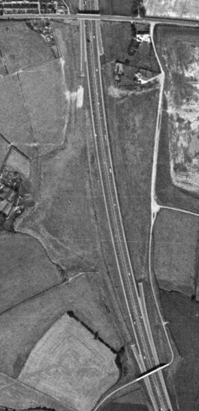
Photo: Tibshelf site 1973.jpg

Size of this preview: 291 × 600 pixels. Other resolution: 485 × 1,000 pixels.
Original file (485 × 1,000 pixels, file size: 303 KB, MIME type: image/jpeg)
An aerial view of the land that was allocated for Tibshelf services, showing the ghost slips.
Photo taken on 15/08/1973 by US Geological Survey KH9-6 Satellite.
Assigned to galleries: Tibshelf, Ghost slip
File usage
The following page uses this file: