Photo: Sandbach site 1973.jpg
Size of this preview: 314 × 599 pixels. Other resolution: 334 × 637 pixels.
Original file (334 × 637 pixels, file size: 140 KB, MIME type: image/jpeg)
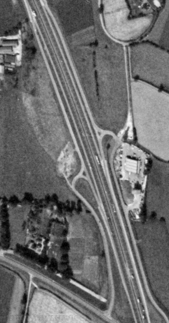
An aerial view of the land that was allocated for Sandbach services, showing the slip roads and works unit.
Photo taken on 15/08/1973 by US Geological Survey KH9-6 Satellite.
Assigned to galleries: Sandbach, Maintenance Compounds
File usage
The following 2 pages use this file: