Photo: Leigh Delamere 1973 aerial.jpg

Size of this preview: 800 × 512 pixels. Other resolution: 1,021 × 654 pixels.
Original file (1,021 × 654 pixels, file size: 446 KB, MIME type: image/jpeg)
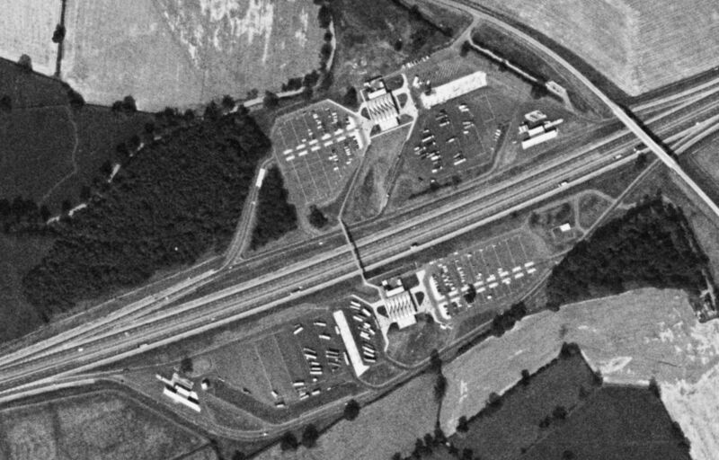
An aerial photo of the service area, taken in 1973.
Photo taken on 15/08/1973 by US Geological Survey KH9-6 Satellite.
Assigned to galleries: Leigh Delamere
File usage
There are no pages that use this file. This just means that it's not embedded into any page content - if the file is tagged in any galleries, it will still be displayed there.