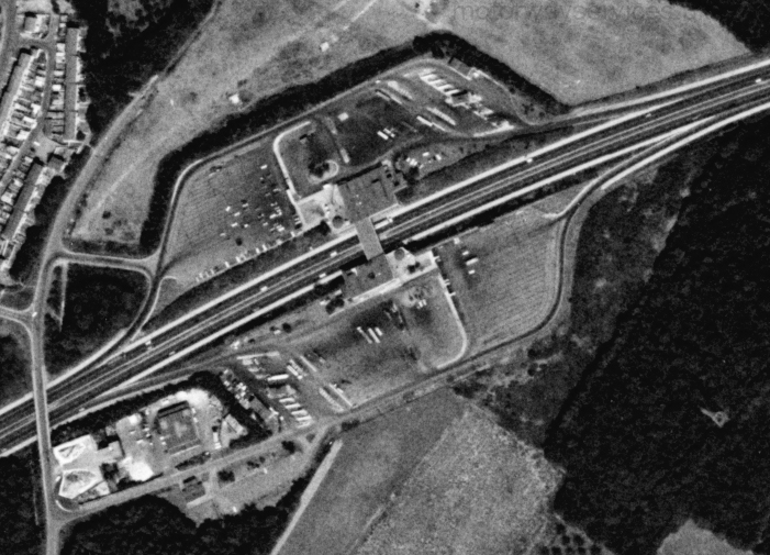
Photo: Farthing Corner aerial 1976.jpg
No higher resolution available.
Farthing_Corner_aerial_1976.jpg (701 × 505 pixels, file size: 239 KB, MIME type: image/jpeg)
An aerial view of Farthing Corner, taken in 1976.
Photo taken on 17/08/1976 by US Geological Survey KH9-6 Satellite.
Assigned to galleries: Farthing Corner
File usage
There are no pages that use this file. This just means that it's not embedded into any page content - if the file is tagged in any galleries, it will still be displayed there.